Shanghai & the Water Towns itinerary — January 2027
For the Shanghai & the Water Towns trip (Shanghai, Hangzhou & Suzhou), January 2027 is one of the less comfortable months by weather. Across Shanghai and Hangzhou, daytime highs run from about 8°C / 46°F to 9°C / 48°F. Plan around 5–7 days for the full Shanghai, Hangzhou & Suzhou loop.
In this order — about 5–7 days:
- Shanghai3 nights
- Hangzhou2 nights
- Route noteReserve the longest intercity leg first and keep transfer days free of timed sights.
By TripSapien · Updated August 24, 2026
Shanghai
Shanghai in January
TempTemperature
47°F / 35°F
8.3°C / 1.6°C
RainPrecipitation
10d
3in · 75mm
LightDaylight
10.2h
January is cold and damp, so plan the Bund in short blocks and use museums or malls around People's Square and Jing'an.
City overview
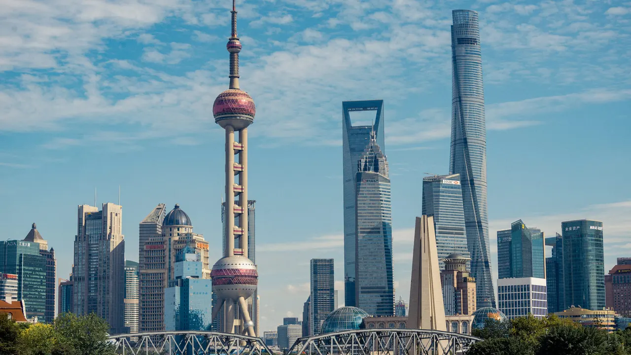
Shanghai is a Huangpu River city split between older Puxi and Pudong, whose Lujiazui skyline rose after 1990 across from the Bund's concession-era banks. First-timers need five mental districts: Huangpu for the Bund, Nanjing Road, People's Square, and the Old City; Jing'an for high-end westward shopping; the French Concession for lanes and cafes; Pudong for towers; and Hongqiao for transport.
Food & drink
Shanghai food leans sweet, rich, and river-delta specific: xiaolongbao, shengjianbao, hongshao rou, scallion oil noodles, drunken chicken, crab roe noodles, and hairy crab in autumn are the key dishes. Yuyuan Bazaar, Huanghe Road near Nanjing Road, the French Concession, and old-school local restaurants around People's Square make the map; the city is pricier than most mainland Chinese cities but still cheaper than Hong Kong or Tokyo for neighborhood meals.
Holidays & observances
- Jan 1New Year's DayPublic holiday
Top sights
Ranked for January suitability using weather, setting, ratings, and review volume.
- 1The Bund
- 2Nanjing Road Pedestrian Street
- 3Yu Garden & Old City
- 4Shanghai Tower & Lujiazui
- 5Oriental Pearl Tower
- 6Huangpu River ferry
- 7French Concession lanes
- 8Jing'an Temple
- 9People's Square & Shanghai Museum
- 10Shanghai Urban Planning Exhibition Center
 1
1The Bund
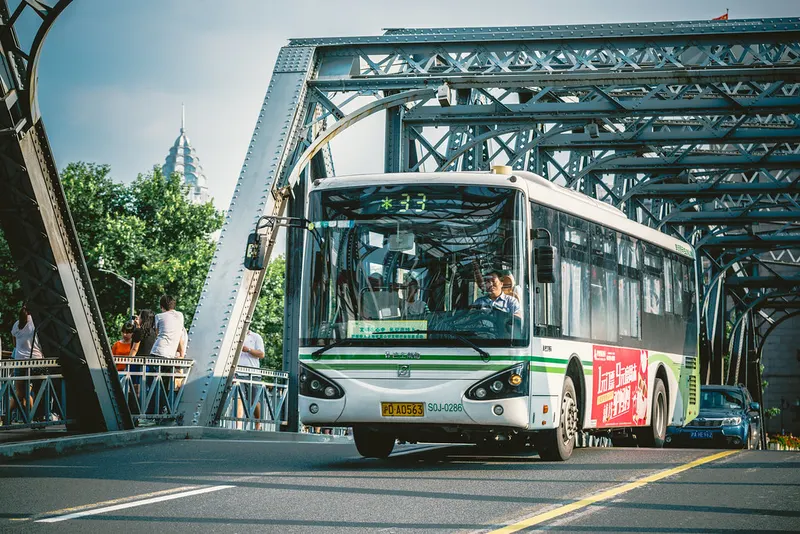
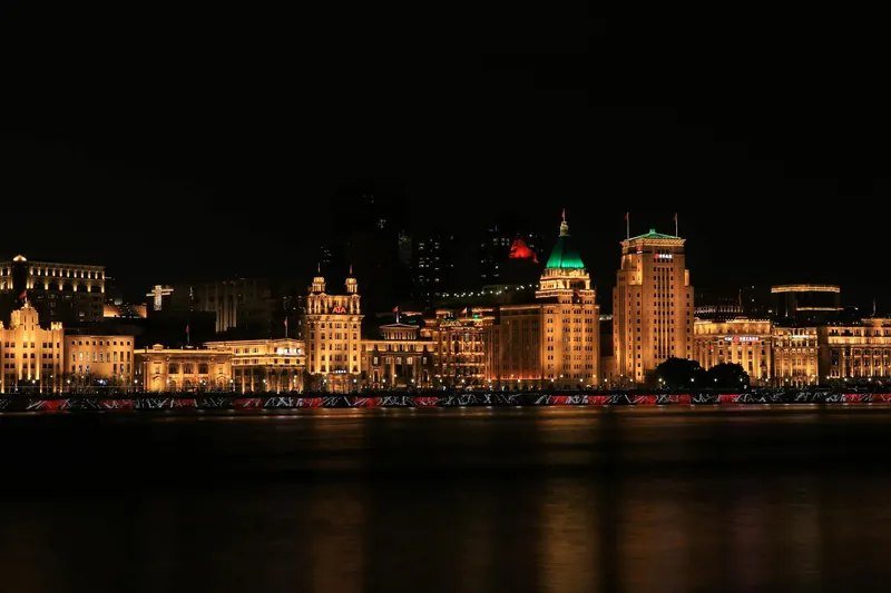
4.7★ · 7,247outdoorThe Bund runs along the west bank of the Huangpu River with colonial-era banking and trading buildings from Shanghai's concession years. It faces Pudong's skyscrapers and is the city's defining evening walk.
Wikipedia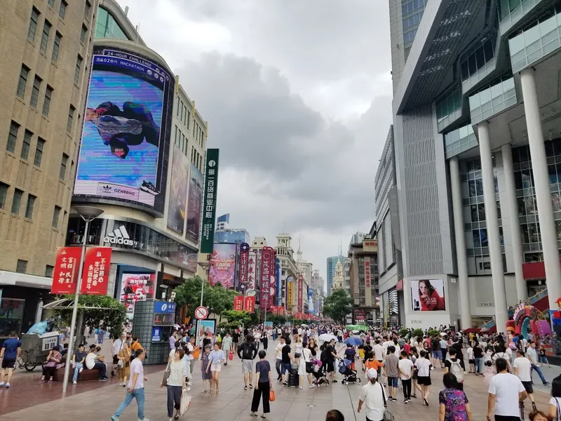 2
2Nanjing Road Pedestrian Street
4.6★ · 2,066outdoorOpen dailyNanjing Road East runs from the Bund toward People's Square and is fully pedestrianized for the core commercial stretch. The broader Nanjing Road corridor is about 6km long and has been one of Shanghai's signature shopping streets since the 1930s.
 3
3Yu Garden & Old City
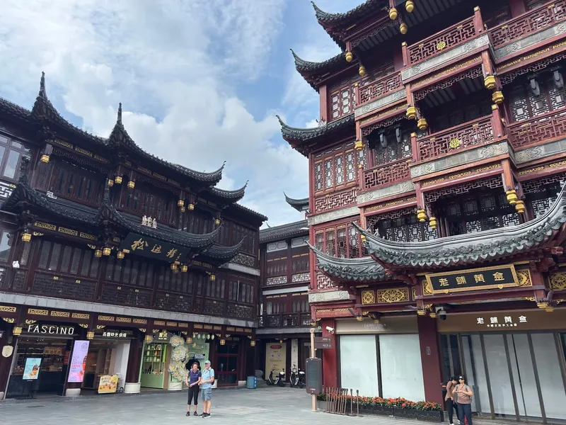
4.6★ · 887outdoorThe Old City is the nearly 1,000-year walled core, and Yu Garden is the classical garden set-piece beside bazaar lanes. Use Yuyuan Garden station rather than trying to approach through Bund traffic.
Show 7 more sights
- 4Shanghai Tower & Lujiazui
- 5Oriental Pearl Tower
- 6Huangpu River ferry
- 7French Concession lanes
- 8Jing'an Temple
- 9People's Square & Shanghai Museum
- 10Shanghai Urban Planning Exhibition Center
Neighborhoods
 1
1Huangpu, Bund & People's Square
Huangpu is the ceremonial centre: the Bund, Nanjing Road East, People's Square, Shanghai Museum, Old City, and Yu Garden cluster around the river and metro Line 2.
 2
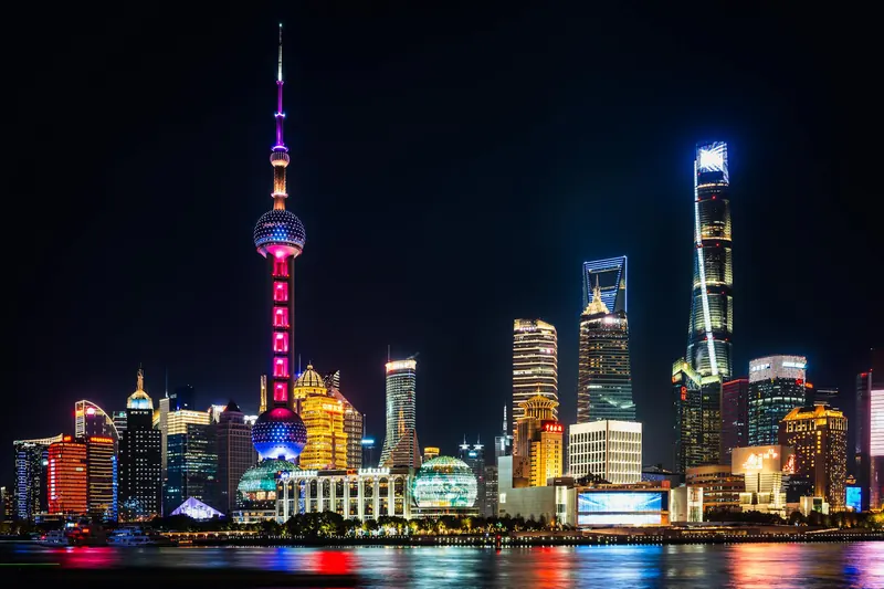
2Pudong & Lujiazui
Pudong is the post-1990 skyline, with Lujiazui towers, malls, river promenades, Century Avenue, and the Maglev-side airport route. It is impressive but less intimate than Puxi.
 3
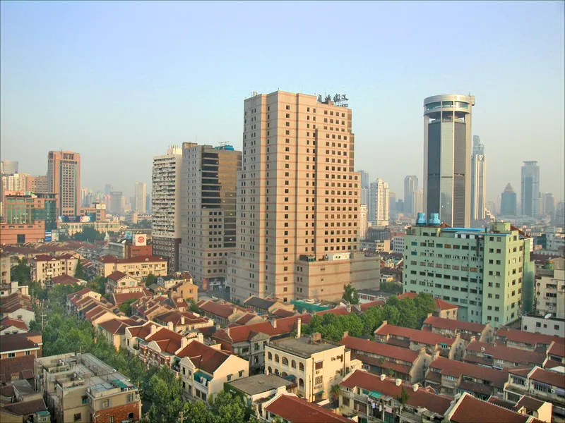
3French Concession
The French Concession is Shanghai at walking speed: shikumen lanes, Xintiandi, Tianzifang, boutiques, cafes, Huaihai Road, and leafy residential streets.
 4
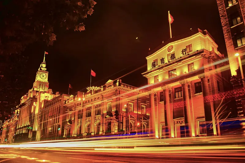
4Jing'an & Nanjing Road West
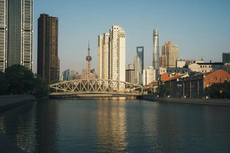
Jing'an is high-end Puxi, with Jing'an Temple, West Nanjing Road malls, hotels, offices, and easy Line 2 airport-side movement.
 5
5Xuhui & Xujiahui
Xuhui stretches the French Concession feeling southwest into Xujiahui shopping, churches, universities, and residential lanes. It is strong for cafes and longer stays.
 6
6Hongqiao
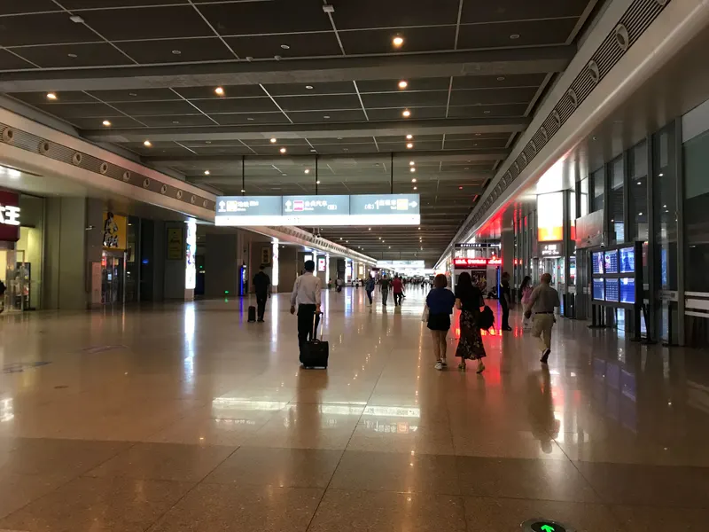
Hongqiao is the transport-and-convention side, with the airport, railway station, exhibition traffic, and suburban hotels. It is practical for trains and business, not the first sightseeing base.
Getting around
Shanghai Metro is the visitor backbone, especially Line 2 for Pudong Airport, Longyang Road, Lujiazui, East Nanjing Road, People's Square, Jing'an Temple, Hongqiao Airport, and Hongqiao Railway Station. The Maglev runs from Pudong Airport to Longyang Road, while the cheap Huangpu ferry beats the Bund Sightseeing Tunnel for crossing between the Bund and Pudong.
Hangzhou
Hangzhou in January
TempTemperature
48°F / 34°F
8.7°C / 1.2°C
RainPrecipitation
12d
3.1in · 80mm
LightDaylight
10.3h
January is cold and damp, with quieter West Lake paths and chilly boat rides.
City overview
Hangzhou is the Zhejiang capital where West Lake, Lingyin Temple, Longjing tea hills, Hefang Street, Xixi wetlands, and the Grand Canal terminus define the visitor map. The city pairs classical lake scenery with metro-connected business districts around Wulin, Qianjiang New City, Binjiang, and Hangzhou East Station.
Food & drink
Hangzhou food includes West Lake vinegar fish, Dongpo pork, Longjing shrimp, beggar chicken, pian er chuan noodles, lotus-root starch, river prawns, and green tea. Lou Wai Lou, Hefang Street, Wushan night snacks, Longjing village tea houses, and canal-side restaurants are the first route.
Holidays & observances
- Jan 1New Year's DayPublic holiday
Top sights
Ranked for January suitability using weather, setting, ratings, and review volume.
- 1West Lake
- 2Bai Causeway and Su Causeway
- 3Xixi National Wetland Park
- 4Liuhe Pagoda
- 5Grand Canal and Gongchen Bridge
- 6Hefang Street and Wushan Square
- 7Lingyin Temple
- 8Leifeng Pagoda
- 9Longjing Tea Fields and China National Tea Museum
- 10Liangzhu Museum and Archaeological Ruins
 1
1West Lake
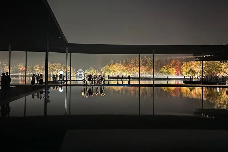
4.7★ · 1,107outdoorThe UNESCO-listed lake is Hangzhou core, with causeways, bridges, gardens, pagodas, boat islands, and classic views such as Three Pools Mirroring the Moon.
Wikipedia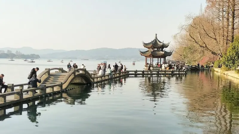 2
2Bai Causeway and Su Causeway
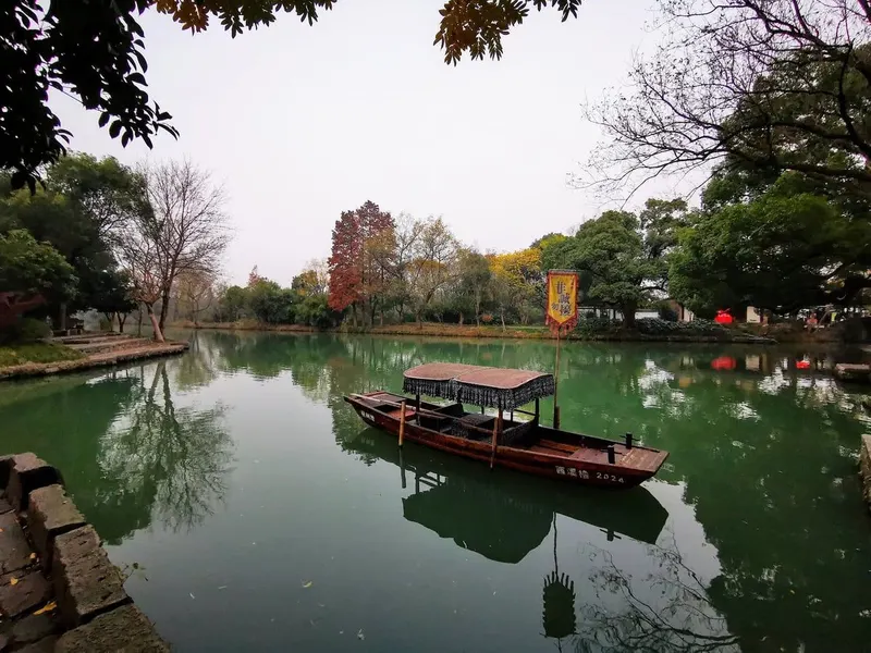
4.6★ · 465outdoorThe two lake causeways structure the best walking and cycling routes, linking bridges, lotus ponds, willow trees, and seasonal blossom views.
 3
3Xixi National Wetland Park
4.4★ · 202outdoorOpen dailyThe wetland park west of the center has waterways, reeds, boat rides, villages, and a different ecology from West Lake.
Wikipedia
Show 7 more sights
- 4Liuhe Pagoda
- 5Grand Canal and Gongchen Bridge
- 6Hefang Street and Wushan Square
- 7Lingyin Temple
- 8Leifeng Pagoda
- 9Longjing Tea Fields and China National Tea Museum
- 10Liangzhu Museum and Archaeological Ruins
Neighborhoods
 1
1West Lake and Hubin
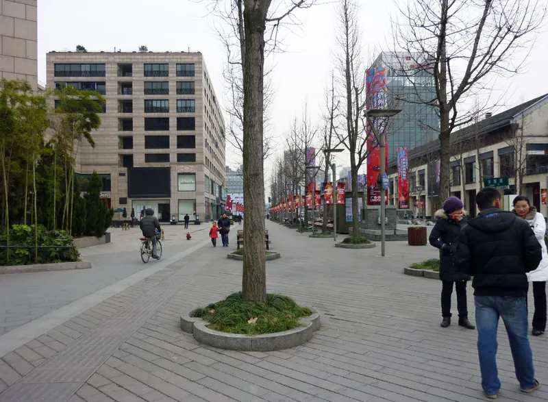
The lakefront is scenic and hotel-heavy, with Hubin parks, boat docks, malls, night fountains, causeways, and easy walking loops.
 2
2Wulin and Gongshu Grand Canal
Wulin is commercial and central, while Gongshu adds canal museums, Gongchen Bridge, warehouses, restaurants, and water-bus access.
 3
3Hefang, Wushan, and Qinghefang
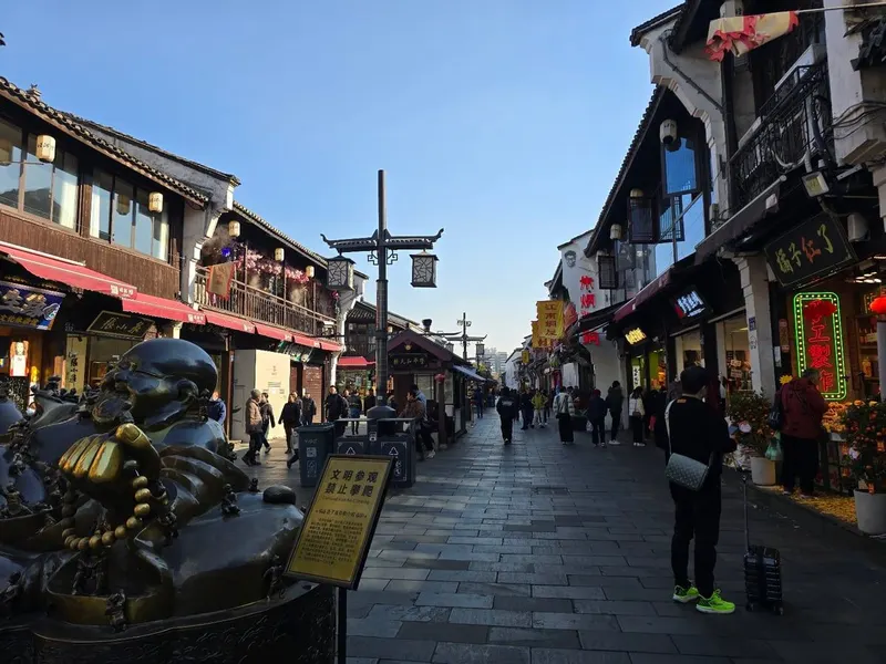
The old south-lake side is snack-heavy and historic, with Wushan Square, medicine shops, restored lanes, and dense evening crowds.
 4
4Lingyin, Longjing, and Meijiawu
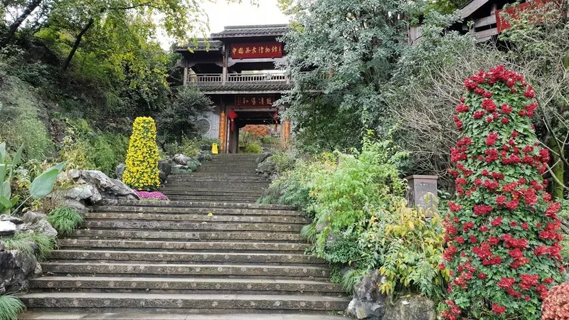
The western hills are temple-and-tea focused, with Lingyin, Feilai Feng, Dragon Well villages, shaded roads, and slower guesthouse stays.
 5
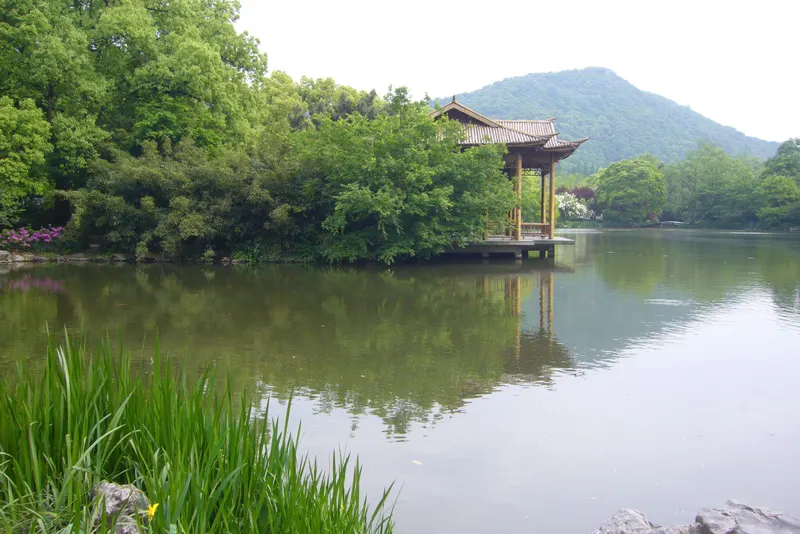
5Xixi and Wenxin
The wetland side is greener and spread out, with boat routes, reeds, newer hotels, offices, and quieter weekends outside holidays.
 6
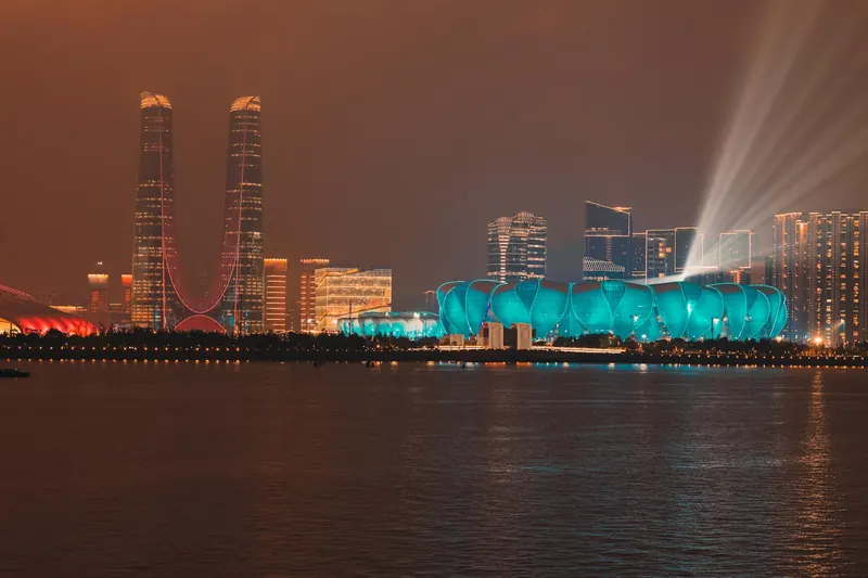
6Qianjiang New City and Binjiang
The riverfront districts feel modern, with towers, light shows, convention spaces, offices, metro lines, and views across the Qiantang River.
Getting around
Hangzhou Metro connects the airport, East Station, West Lake edges, Wulin, Qianjiang New City, and outer districts, while buses, taxis, water buses, bikes, and QR-code tickets fill shorter gaps. West Lake is best walked, cycled, or crossed by boat rather than by car.
Planning the Shanghai & the Water Towns route?
Add your dates and we'll pace all 2 cities — every place checked for closures, limited hours, and booking needs in January.
Don't-miss stops along the way

Suzhou
The canal city of Suzhou and its UNESCO classical gardens are 25 minutes from Shanghai by high-speed train — the easiest of the Yangtze-delta "water town" add-ons.
Weather by month for the Shanghai & the Water Towns trip
In January, climate averages for Shanghai and Hangzhou show daytime highs from 8°C / 46°F to 9°C / 48°F, with nights down to about 1°C / 34°F in the coolest of those cities. The rainiest of those cities averages about 12 rainy days. Based on climate averages for Shanghai and Hangzhou, January is one of the less comfortable months by weather.
The most comfortable months for this route are October, November and May, based on average daytime temperatures and rainfall in Shanghai and Hangzhou. January 2027 is a lower-comfort month.
Common questions about the Shanghai & the Water Towns trip
- When is the best time to do the Shanghai & the Water Towns trip?
- The most comfortable months across Shanghai and Hangzhou are October, November and May, based on average daytime temperatures and rainfall for those cities. January is one of the less comfortable months by weather — see the city climate sections below for the averages in January 2027.
- How many days do you need for the Shanghai & the Water Towns trip?
- A comfortable Shanghai & the Water Towns trip runs about 5–7 days, allowing roughly Shanghai 3, Hangzhou 2 nights plus travel between stops. Add a day if you want a slower pace or extra day trips.
- What's the route for the Shanghai & the Water Towns trip?
- The classic order is Shanghai, Hangzhou & Suzhou. Suzhou is a featured stop along the way. The detailed month sections below cover Shanghai and Hangzhou.
Ready to plan the Shanghai & the Water Towns trip?
Turn this route into a day-by-day plan for January 2027, every stop checked for closures and booking needs on your exact dates.